
Youngstown ZIP Postal Coverage
The verified Youngstown postal designations below are anchors, not an invented neighborhood map. Research did not locate an official City, County, or USPS table that maps every 445xx postal code to every Youngstown neighborhood or proves an exhaustive municipal list. The careful approach is to use the USPS result for a specific address and treat each row as a documented postal context. A postal reference cannot honestly turn those delivery labels into a citywide resident roster.
| ZIP code | Verified Youngstown context | Postal point or anchor | Search caution |
|---|---|---|---|
| 44501 | Youngstown Post Office context | 99 S. Walnut Street | ZIP+4 P.O.-Box delivery designation, not a residential neighborhood. |
| 44502 | City department postal anchor | Central City services | The Board of Elections displays a 44502/44503 discrepancy on its site. |
| 44503 | City Hall, courthouse, and YSU physical-location anchor | Central Youngstown addresses | A physical point can differ from a YSU mailing designation. |
| 44505 | City postal anchor | Henry Stambaugh Golf Course | Do not infer a fixed neighborhood boundary. |
| 44509 | City postal anchor | Community police unit | Postal code is not a ward or neighborhood line. |
| 44510 | City postal anchor | Street Department and Atkinson Recreation Center | Validate the individual address before using it in a record search. |
| 44555 | YSU special mailing designation | Youngstown State University mailing address | Not the same as YSU Police’s 44503 physical GPS address. |
The table intentionally leaves out unverified claims about ZIP-wide population, residents, or neighborhood limits. The postal label can narrow an address check. It cannot tell where the City ends or which people are present within a delivery area.
Note: Use a postal code as a delivery clue, then confirm the address and the record custodian that holds the requested document.
Youngstown ZIP Address Validation
The USPS ZIP Code Lookup is the correct first check for a specific Youngstown address. Enter the address that is actually in hand and preserve the returned postal form with the source date. This validation step is more reliable than applying a broad web map label to an address. It also prevents a later parcel, court, or directory search from being based on a mistyped street number or delivery code.
The USPS ZIP Code Lookup supplies the source shown in this Youngstown postal-reference image.
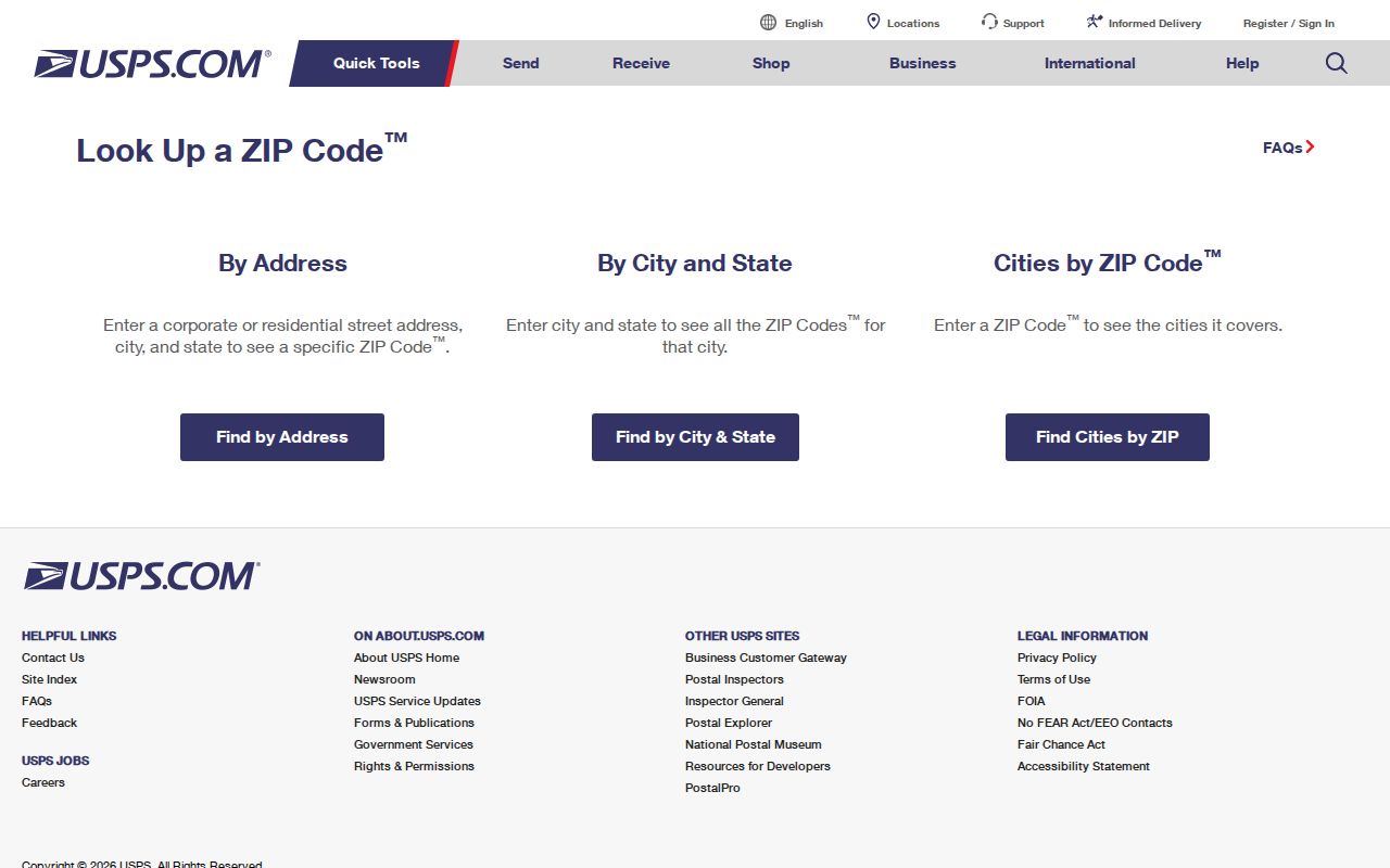
When the postal form differs from a familiar local label, keep both facts separate. The mailing city is a delivery convention. The parcel’s situs, or physical property location, comes from the county property record. Its legal description is the recorded land identity. Those fields can agree, but they are not interchangeable.
Youngstown ZIP Mailing Quirks
Two local examples show why a postal designation needs context. The 44501 designation is tied to the Youngstown Post Office at 99 S. Walnut Street and functions as a ZIP+4 P.O.-Box delivery designation. It should not be labeled as a neighborhood. The 44555 designation appears in Youngstown State University’s mailing address, while YSU Police lists mailing at 1 Tressel Way, 44555 and a GPS address at 266 W. Wood Street, 44503.
That comparison is practical, not obscure. A mailing code may lead to a correct postal destination while a physical location is filed under another address. Do not use either one to infer a private address, district line, or a relationship to an institution. For a dated map context, begin with the full street address and the source that owns the record.
Note: The 44501 and 44555 designations illustrate postal practice; neither supports a ZIP-wide list of Youngstown residents.
Youngstown ZIP Boundary Context
Mahoning County makes a ZIP Code Boundaries layer available for map context. Use it to orient an address within postal geography, then check the actual parcel and municipal information elsewhere. The County GIS viewer is informational, not a legal survey, and the map layer is not a record of residency, ownership, or City jurisdiction.
The Mahoning County ZIP-boundary layer is the source for this Youngstown postal-reference image.
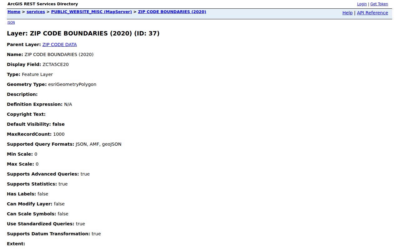
Youngstown planning uses North, East, South, and West sides plus Central, and a 2010 framework identifies 31 defined neighborhoods in 11 planning clusters. Other current City messaging uses a different number. Neither local planning taxonomy should be forced into a USPS delivery label.
Youngstown Record Search Fields
There is no official ZIP-wide person or owner search for Youngstown. The search fields below explain why. Each public tool has a different key, and none treats a postal designation as a complete resident roster. Select the tool by the record needed, then use the field it actually accepts. This keeps a postal validation from becoming an unsupported conclusion about a person.
| Official route | Search key or field | What it can confirm | What it does not provide |
|---|---|---|---|
| Mahoning County Auditor | Owner, address, parcel, sales, location, or property type | Parcel identity, deeded owner, tax-payer address, legal description, and sales fields | A ZIP-wide household or occupant list |
| Mahoning GIS | Search, identify, layers, parcel tools | Parcel geometry, road context, parcel IDs, and map layers | Legal survey findings or a resident roster |
| Recorder AVA | Party, document, book/page, reference, or subdivision | Recorded-document trail tied to parties and land descriptions | An address or ZIP-wide resident search |
| Ohio My Voter Information | First name, last name, and county; street after a broad match | An individual registration and polling information match | A street-by-street or ZIP-browse control |
For a record that is not online, Ohio’s Public Records Act, ORC 149.43, applies to existing nonexempt records. A request should identify the existing record, date range, and address or parcel where relevant. The law does not require an office to perform a broad person search.
For a voter-search discrepancy, the human channel is the Mahoning County Board of Elections, 345 Oak Hill Ave., Entrance A, Youngstown, OH 44502, 330-783-2474. Its page links registration, polling-place, address-change, and ballot information. For broader historical data research, the Secretary of State’s Ohio DATA Act voter archive describes public registration snapshots, daily county data, and a 22-month archive. Ask for an existing file version and fields, and follow the archive’s current request controls and disclosure limits.
Use a Youngstown ZIP Carefully
Once a full address has a verified postal form, the postal-reference workflow becomes an address-led records process. It does not begin by searching names across a delivery region. The County Auditor is the first official property route because it accepts address, owner, parcel, sales, location, and property-type criteria. Its result supplies the parcel number and legal description that connect to the GIS and Recorder when a property question needs to go farther.
- Validate the complete Youngstown address through USPS and retain the returned postal code.
- Search the address in the Mahoning County Auditor portal and note the parcel number, situs, legal description, and dated ownership fields.
- Use the GIS viewer to inspect the parcel and nearby map context, while treating the viewer as informational.
- For a recorded transfer question, carry the acquisition date and legal description to the Recorder’s index.
- For an individual registration question, use the state voter tool with the required name and Mahoning County fields, then contact the Board of Elections for a discrepancy.
After a ZIP narrows a verified address to a particular street, use the Youngstown street records route for the fuller address-by-address sequence. Postal validation and property research answer different questions, and combining them too early can obscure that difference.
Youngstown Address Grid
Youngstown street numbers follow the Philadelphia Plan in City Codified Ordinances Chapter 917. It uses 100 numbers per square. East-west streets that cross Market Street or Wick Avenue number from that intersection, with odd numbers south and even numbers north. North-south streets between Fifth and Himrod use Federal Street, while other north-south streets use Mahoning or Himrod avenues. Remaining streets generally number from the end leading from Central Square.
The ordinance is the key to reading a current street number. It is not proof that every historic directory used the same reference without variation. For an older address, compare the current street list, legal description or lot, historic street index, and a dated atlas or Sanborn map. Do not manufacture a citywide renumbering date: the research found no official source confirming one.
Youngstown City-Limit Records
Postal designations are delivery geography, not City boundaries, ownership districts, ward boundaries, or neighborhoods. A Youngstown mailing label can occur outside the City, and a City physical location can use an institutional or P.O.-Box mailing designation. That is why an official map, parcel card, or legal description must be used when the question concerns a property’s location rather than its mail route.
- Postal code
- A USPS mail-routing code attached to a delivery address, not a municipal boundary field.
- ZIP+4
- An added delivery designation that makes mail routing more specific; it can include a P.O.-Box context.
- P.O.-Box ZIP
- A postal designation used for box delivery and not evidence of a residential neighborhood.
- Unique ZIP
- A special mailing designation associated with one institution or large recipient, such as the YSU mailing example.
- Carrier route
- A USPS delivery-route concept; it is not a parcel boundary, City boundary, or public resident list.
Youngstown Census Context
Citywide statistics provide a different kind of geography. The U.S. Census Bureau QuickFacts page reports Youngstown’s 2020 Census population as 60,068 and its July 1, 2025 estimate as 58,832. It also reports 33.93 square miles of land area and a 2020 density of 1,770.5 per square mile. These are City-level figures, not counts for individual ZIP codes.
The Census QuickFacts source provides citywide context for this Youngstown postal-reference image.
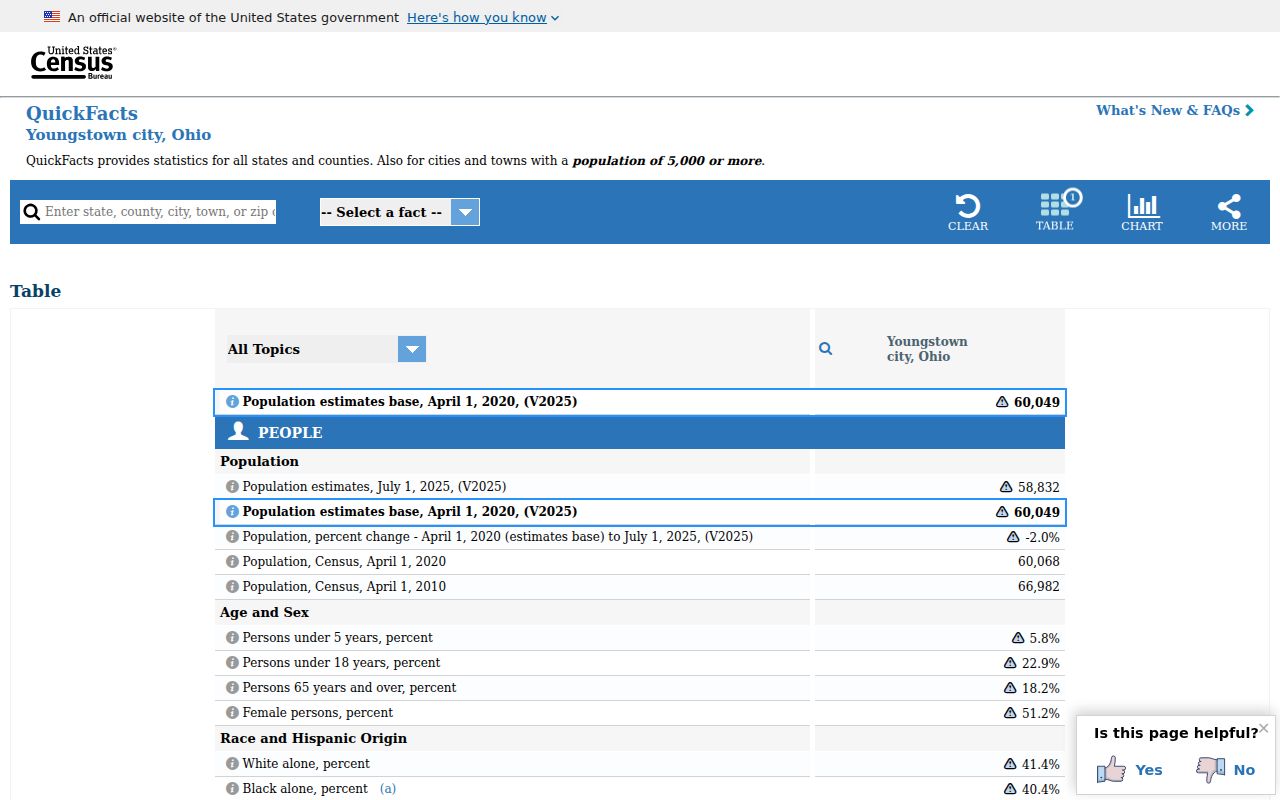
Use the fixed 2020 count when naming a decennial census figure and label the 2025 number as an estimate. Neither statistic identifies a ZIP boundary, a household, or a current resident.